Finding gages
Explore is the front door to the registry: a state map, a search box, and a proximity filter. No account needed.
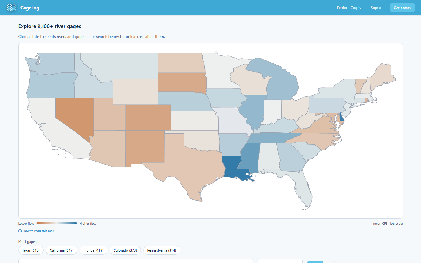
The state map
Click a state to list its gages, grouped by river. The map's coloring is a coarse conditions read: each step of color represents roughly a 10× difference in flow, because rivers span orders of magnitude — orange runs drier than the national spread, blue wetter, and grey means no gage in that state has reported in the last 7 days.
Search
The search box matches river names, station IDs, and source agencies across
the whole registry — you don't need to pick a state first.
Dungeness, 12048000, and Ecology are
all valid queries.
"Nearest me"
The proximity filter sorts gages by straight-line (great-circle) distance from your position. Two caveats worth knowing: it is not driving distance, and the nearest gage by air may sit in a different basin than the water nearest you. The distance calculation runs in your browser; your position is never sent to GageLog.
From a result to a gage
Every result card opens the gage's detail page. Cards show the latest reading and a condition dot — high, normal, or low relative to that gage's own record, not an absolute scale.